Geography
Medvezhyegorsk municipal district is located in the central part of the Republic of Karelia and borders in the south with Suoyarvsky, Kondopozhsky districts and Lake Onega; in the east with the Pudozh region and the Arkhangelsk region; in the north with Segezhsky and Muezersky districts; in the west with Muezersky district.
Statistics
155 km
distance to Petrozavodsk
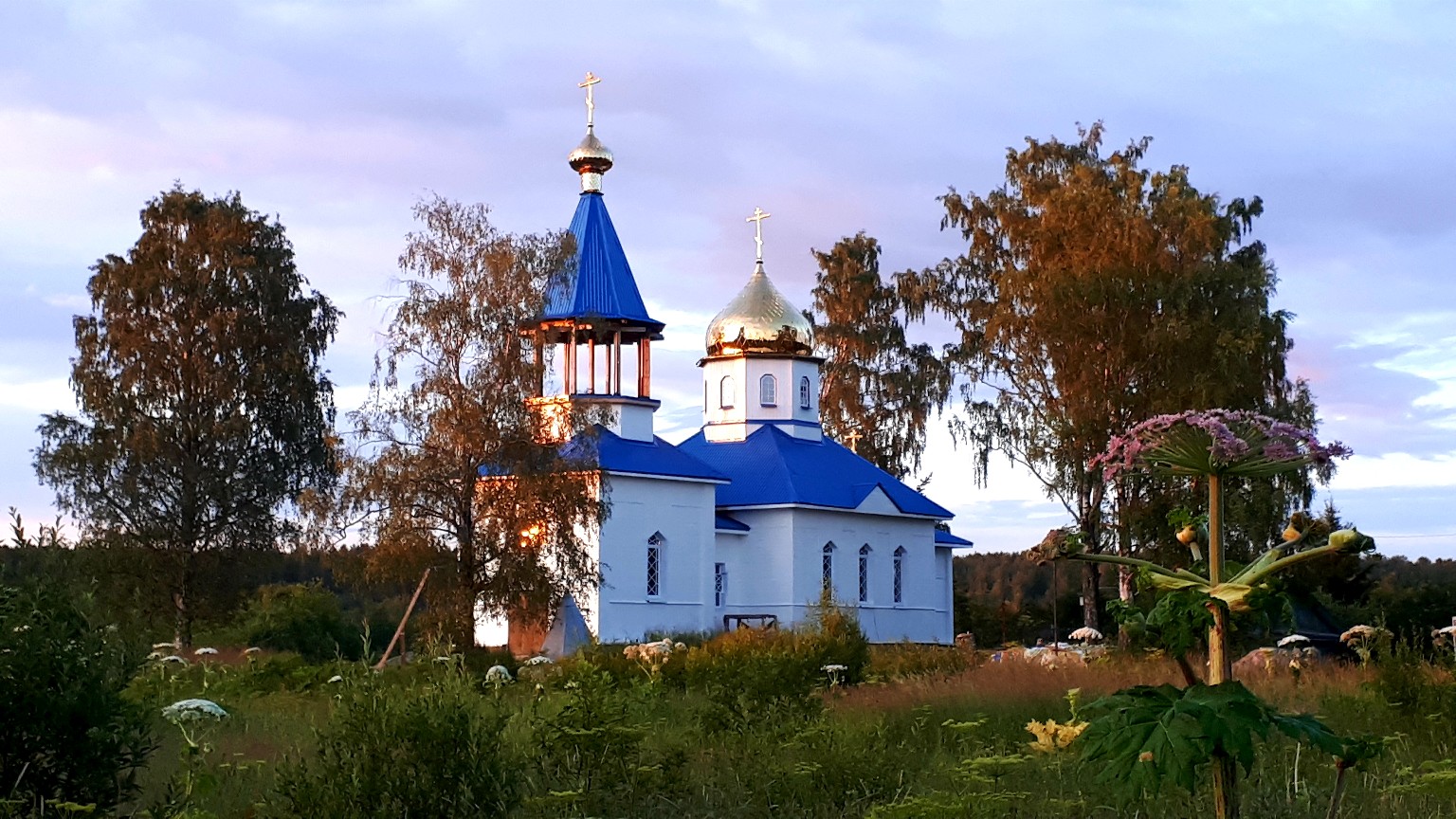
Medvezhyegorsk city
the administrative center
13 694.56 km?=²
area
27,042 persons
population
Infrastructure
It passes through the area of electrified railway St. Petersburg — Murmansk, Bear Mountain Station is the main. The length of the railway tracks on the territory of the region is 60 km.
According to the district runs the White Sea — Baltic Canal, which connects the White Sea with Lake Onega with access to the Baltic Sea to the Volga — Baltic Waterway begins at p. Povenets. The total length of the canal is 227 km, of which 45 km are located on the territory of the Medvezhyegorsk municipal district.
The length of the network of public roads in the district is 303.4 km, of which the hard surface is 215.1 km
Economy
The basis of the region's economy is made up of mining enterprises, organizations belonging to JSC «Russian Railways».
Large enterprises
- Lobskoe-5 LLC
- Carbon-Shungit LLC NPK
- Horizont LLC
- Medvezhyegorsk crushed stone plant LLC
- Sovkhoz Tolvuisky JSC
- Povenetsky district of hydraulic structures — branch of Administration Belomorkanal FBU
- Oktyabrskaya Traffic Management Directorate of Russian Railways JSC
- Kol’sk DRSU LLC
- Prionezhskaya Grid Company JSC